search
Italy map drawing
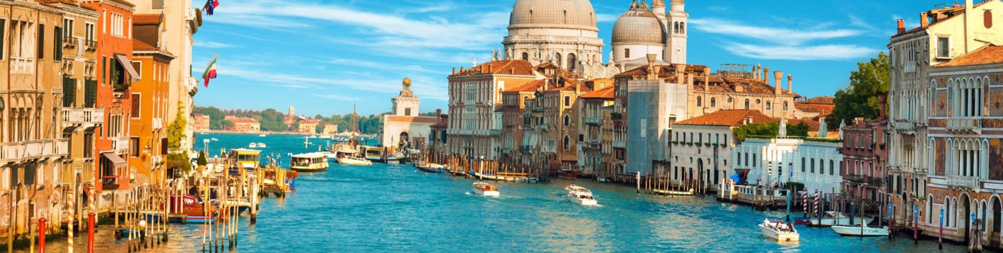
Map of Italy drawing. Italy map drawing (Southern Europe - Europe) to print. Italy map drawing (Southern Europe - Europe) to download. Italy is a country in Southern Europe (see Italy map drawing). The country is located on a peninsula in the Mediterranean Sea. Italy borders six countries: France, Austria, Switzerland, Slovenia, Vatican City and San Marino. A flight to Italy capital city Rome takes roughly 2.5 hours from London/England and 8 hours from New York/USA.

Italy is easy to recognize on any world map, as the country is shaped like a high-heeled boot, as you can see on the Italy map drawing. It looks like the boot is kicking a ball, which is the island of Sicily. The country is slightly larger in size than the three countries of the UK, the Netherlands and Belgium combined or about as big as the state of Arizona/USA.
Italy has more than 7,600 km/ 4,722 miles of coastline as the peninsula is located for a large part in the Mediterranean sea. Italy is popular for its many picturesque ports and sandy beaches. Italy has two bigger islands Sicily and Sardegna and many smaller islands such as Capri, Ischia and Elba as its mentioned in Italy map drawing.