search
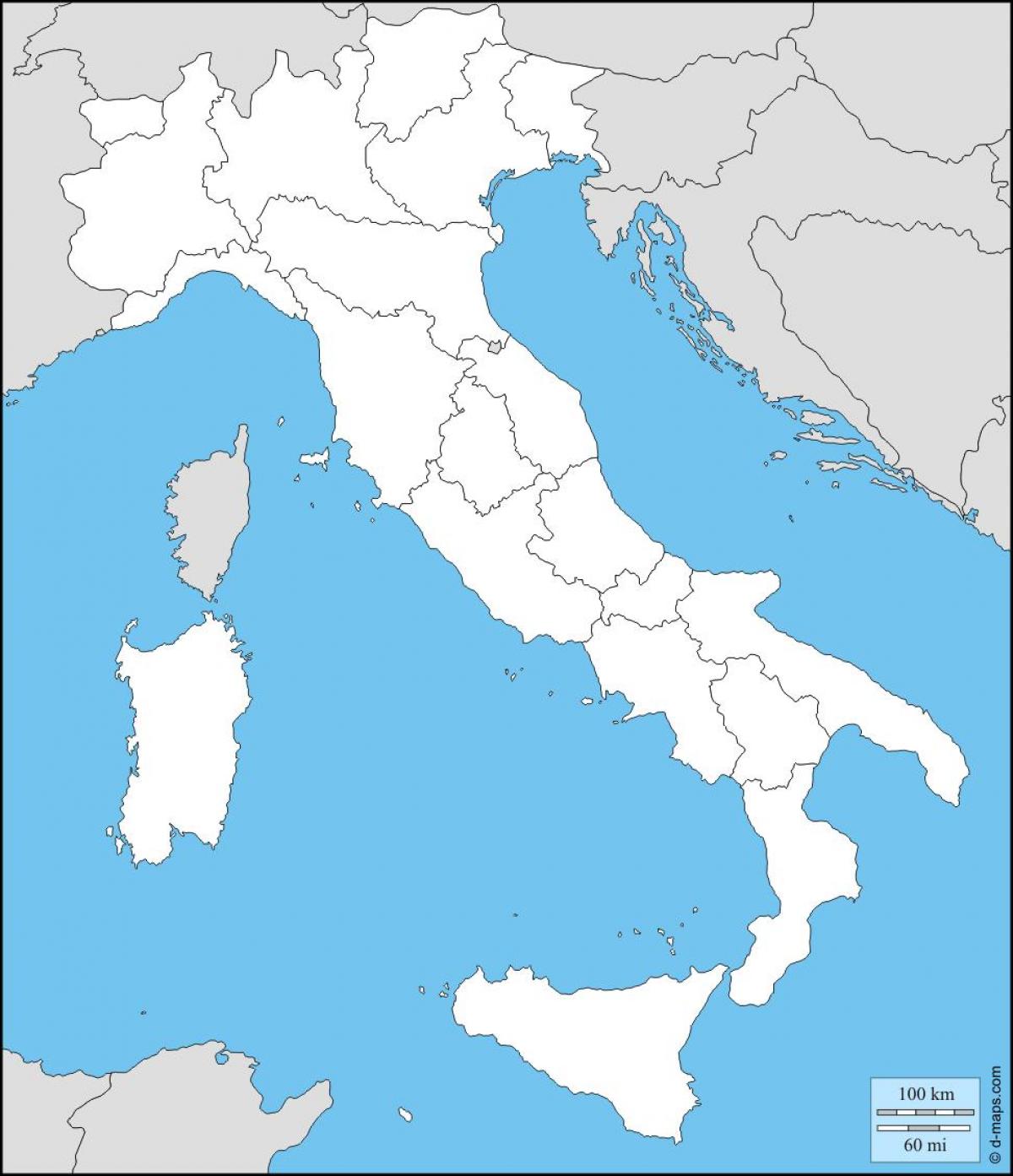
Blank map of Italy
Blank map of Italy with regions. Blank map of Italy (Southern Europe - Europe) to print. Blank map of Italy (Southern Europe - Europe) to download. The above blank map represents Italy, a country located in South-central Europe on the Apennine Peninsula. The above map can be downloaded, printed and used for educational purposes like coloring and map-pointing activities. The blank map of Italy are not very detailed ones. Since these maps only provide the outline regions, you do not get to learn much about the cities, boundaries, and other details. You get to learn about the boundaries of the rivers, lakes, or any other location of Italy.
Italy 20 administrative regions as its mentioned in the above blank map of Italy are as follow: Abruzzo, Basilicata, Calabria, Campania, Emilia-Romagna, Friuli-Venezia Giulia, Lazio, Liguria, Lombardia, Marche, Molise, Piemonte, Puglia, Sardegna, Sicilia, Toscana, Trentino-Alto Adige, Umbria, Valle d'Aosta, Veneto.
Parents can use the blank map of Italy to reinforce the names of Italian regions in their children minds. It help to understand the geographical similarities and differences through the study of human and physical geography of a region of Italy. The most populous region of the country of Italy was Lombardy, inhabited by one-sixth of Italy citizens, followed by Lazio and Campania, which registered about 5.9 million and 5.8 million inhabitants, respectively.


