search
Southern Italy train map
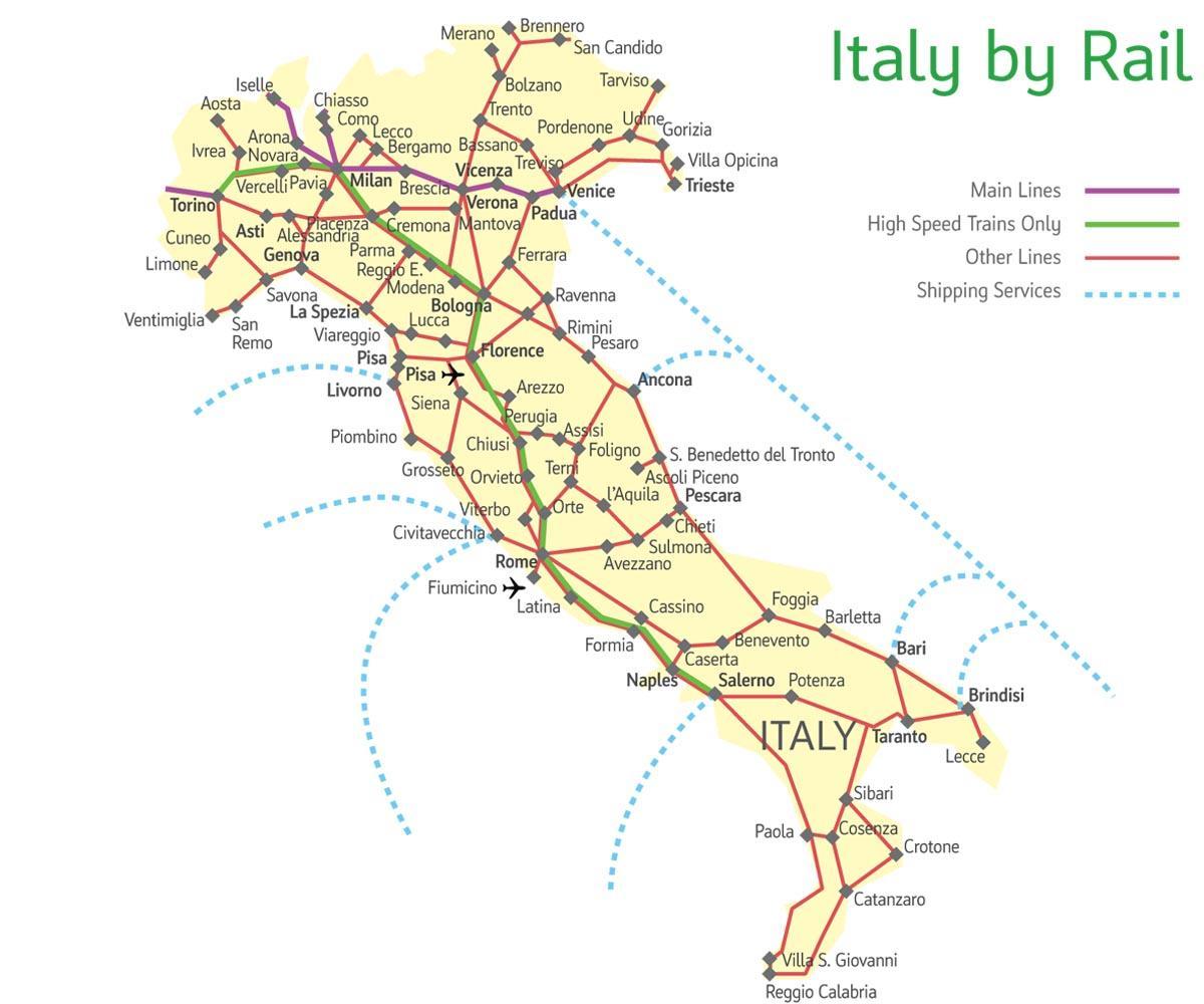
Map of Italy southern train. Southern Italy train map (Southern Europe - Europe) to print. Southern Italy train map (Southern Europe - Europe) to download. While rail travel in southern Italy takes a little more effort than in the north due to fewer high speed trains and fewer tracks, it is still a rewarding and relaxing experience. The key to enjoy rail travel in the south is flexibility and patience. Since many cities are not connected by rail in the south, bus, rental car or ferry may be required as its shown in southern Italy train map. Depending upon which ticketing option you choose, some of the rail passes offer free or discounted buses and ferries; some even allow you to exchange rail travel days with a rental car – to really see the countryside of Calabria, Basilicata or Apulia.
There are a number of private train lines operating throughout southern Italy, as its mentioned in southern Italy train map including: Circumvesuviana – Links Naples and Sorrento, stopping at Ercolano (Herculaneum) and Pompeii. Ferrovia Cumana– Connects Naples to the Campi Flegrei to the west. Stops include Pozzuoli. Ferrotramviaria – Services towns in Puglia Terra di Bari, including Bitonto, Ruvo di Puglia, Andria and Barletta, as well as Bari Airport. Replacement buses on parts of the network on Sundays. Ferrovie Appulo Lucane – Links Bari province with Basilicata, including stops at Altamura and Matera. Replacement buses on Sundays. Ferrovie del Sud Est – The main network covering Puglia Murgia towns and the Salento, servicing tourist hotspots like Castellana Grotte, Alberobello, Martina Franca, Lecce, Gallipoli and Otranto. Replacement buses on parts of the network on Sundays.


