search
Italy satellite map
Map of Italy satellite. Italy satellite map (Southern Europe - Europe) to print. Italy satellite map (Southern Europe - Europe) to download. Italy is located in southern Europe and comprises the long, boot-shaped Italian Peninsula, the land between the peninsula and the Alps, and some islands including Sicily and Sardinia. Corsica, although belonging to the Italian geographical region, has been a part of France since 1769. Its total area is 301,230 km2 (116,310 sq mi), of which 294,020 km2 (113,520 sq mi) is land and 7,210 km2 is water (2,784 sq mi) as its shown in Italy satellite map. It lies between latitudes 35° and 48° N, and longitudes 6° and 19° E.
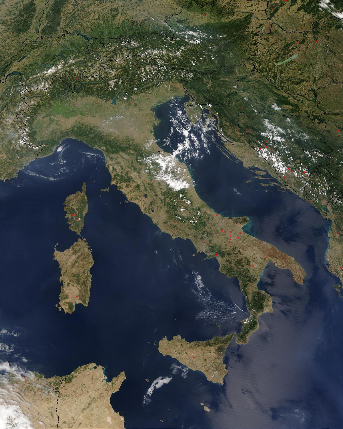
Italy borders with Switzerland (740 km/460 mi), France (488 km/303 mi), Austria (430 km/270 mi) and Slovenia (232 km/144 mi). San Marino (39 km/24 mi) and Vatican city (0.44 km/0.27 mi) are enclaves. Including islands, Italy has a coastline of 7,600 kilometres (4,700 mi) on the Adriatic, Ionian, Tyrrhenian and Ligurian Sea as you can see in Italy satellite map. Satellite view is showing Italy with international borders, regions (regioni) boundaries, the national capital Rome (Roma), regions capitals, major cities, expressways and main roads.
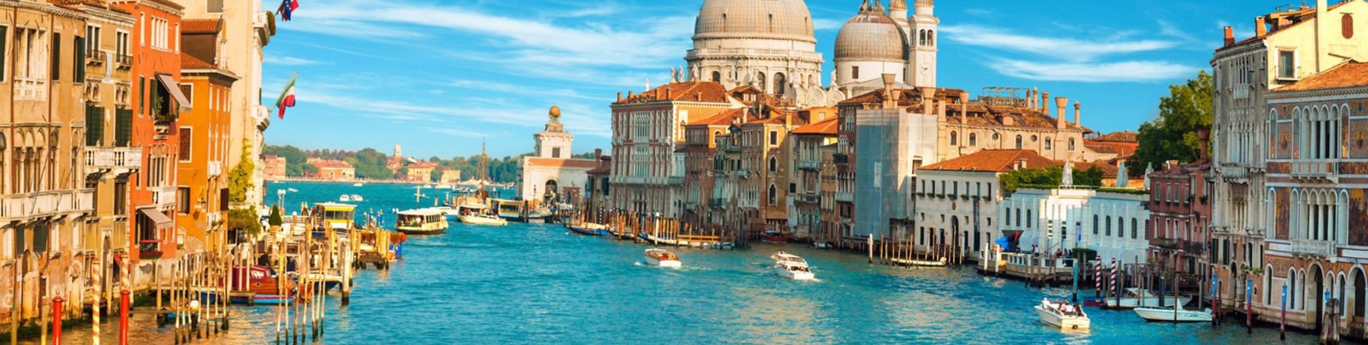
Italy, country of south-central Europe, occupying a peninsula that juts deep into the Mediterranean Sea. Italy comprises some of the most varied and scenic landscapes on Earth and is often described as a country shaped like a boot. At its broad top stand the Alps, which are among the world most rugged mountains. Italy highest points are along Monte Rosa, which peaks in Switzerland, and along Mont Blanc, which peaks in France as you can see in Italy satellite map. The western Alps overlook a landscape of Alpine lakes and glacier-carved valleys that stretch down to the Po River and the Piedmont. Tuscany, to the south of the cisalpine region, is perhaps the country best-known region.